Brilliant News
Publish Time:2025-01-02
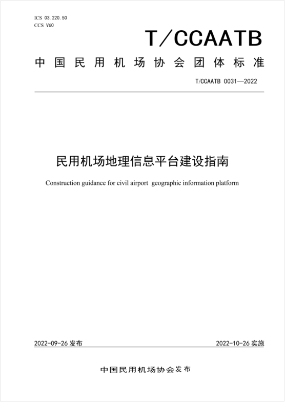
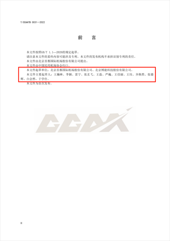
Recently, the China Civil Airport Association approved the release and formal implementation of the "Guidelines for the Construction of Geographic Information Platforms for Civil Airports," a group standard drafted by Beijing Capital International Airport Co., Ltd. and Beijing Brilliant Technology Co., Ltd. This group standard is characterized by its strong specificity, operability, and practicality. The introduction of this group standard fills the gap in the standardized construction of civil airport geographic information platforms and marks a substantive phase in the direction of standardized construction and high-quality development for civil aviation geographic information platforms.
The "Guidelines for the Construction of Geographic Information Platforms for Civil Airports" is the first of its kind in the field of civil airport geographic information platform construction. It plays a positive role in strengthening the standardization of airport geographic information data and will better guide the construction of geographic information platforms in domestic civil airports. It empowers the digital transformation of airports, enhances the level of airport intelligence, and aids in the high-quality development of the civil aviation airport industry. In the future, in accordance with the "Smart Civil Aviation Construction Roadmap," the "Four-Type Airport Construction Outline," and the "China Civil Aviation Four-Type Airport Construction Action Outline (2020-2035)," it can promote the construction of "smart" airports that comprehensively interconnect production elements, fully share data and information, and efficiently coordinate various business operations. This will continuously improve the modernization level of airports and support the high-quality development of the national civil aviation industry.


The "Guidelines for the Construction of Geographic Information Platforms for Civil Airports" cover key aspects including the architecture of the geographic information platform, the composition and functions of the data layer, support layer, service layer, and application layer. It details functions and service models such as map service sharing, location data processing, spatiotemporal big data analysis, and geographic information management, and specifies standard requirements for interface development, spatial data classification, and coding.
As one of the drafters of the "Guidelines for the Construction of Geographic Information Platforms for Civil Airports," Brilliant Co., Ltd. has been deeply involved in the field of airport digital construction for nearly two decades, providing digital platform construction services for nearly forty airports nationwide with an annual throughput of over ten million passengers. The Digital Twin Visualization Platform of the Capital Airport is one of the benchmark projects of Boneng Co., Ltd. in the field of digital twin airports. It integrates functions such as spatiotemporal data integration, processing, storage, analysis, and visualization to achieve situational awareness and panoramic visualization of airport operations, effectively empowering applications at various levels including decision-making, management, operation, and work layers of the airport.
The Digital Twin Visualization Platform of the Capital Airport has realized functions such as geographic information sharing, unified location services, vehicle tracking management, apron operation monitoring, airspace operation monitoring, and data visualization. Relying on technologies such as GIS, IoT, big data, and 3D modeling and simulation, it completes the integration, fusion, modeling, and simulation of airport geographic information data, spatiotemporal big data, and location big data. It achieves a comprehensive display and application of the Capital Airport's "air, ground, surface, underground, indoor, outdoor" four vertical and two horizontal six-dimensional space entity information resources throughout their lifecycle. The platform integrates the airport's comprehensive management system, focusing on air route management and airport area and security management, to achieve monitoring, early warning, diagnosis, and analysis of the airport's comprehensive management operations.